Better Data. Better Decisions. Better Wildlife Management.
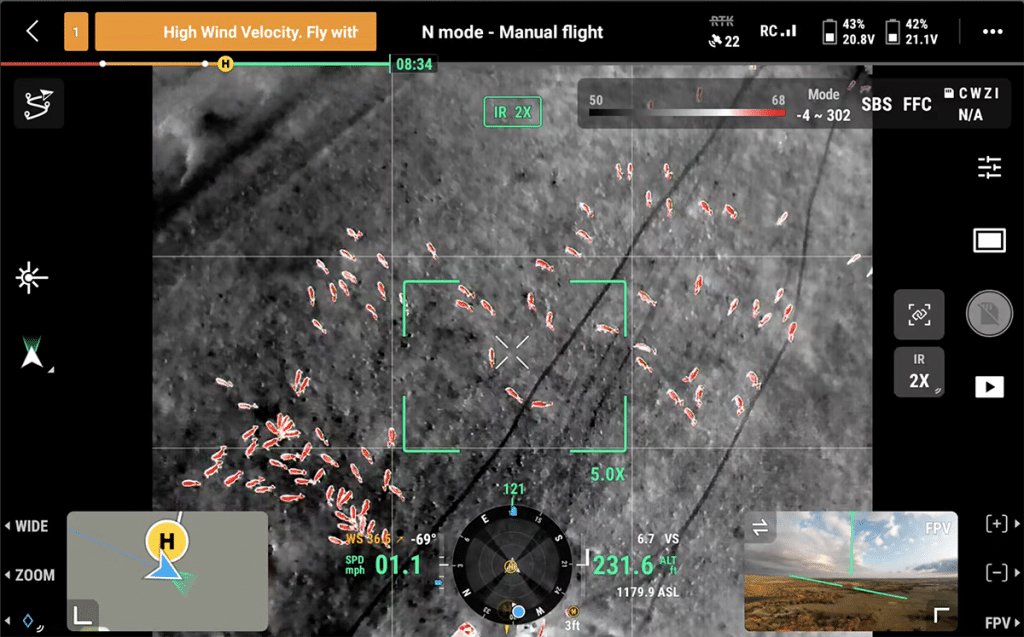
Effective wildlife management begins with understanding what’s on your property. Oklahoma Drone Recovery Company provides professional aerial herd analysis using advanced thermal drone technology to help landowners, ranchers, hunting clubs, outfitters, and wildlife managers gain valuable insight into their deer population. Our surveys deliver accurate observations that support informed management decisions while minimizing disturbance to wildlife.
Better Data. Better Decisions. Better Wildlife Management.
Effective wildlife management begins with understanding what’s on your property. Oklahoma Drone Recovery Company provides professional aerial herd analysis using advanced thermal drone technology to help landowners, ranchers, hunting clubs, outfitters, and wildlife managers gain valuable insight into their deer population. Our surveys deliver accurate observations that support informed management decisions while minimizing disturbance to wildlife.
Know What’s on Your Property
Traditional scouting methods only capture a small portion of your herd. Thermal drone surveys provide a broader aerial perspective, allowing us to identify deer across large areas and deliver more accurate population estimates than ground observations alone.
Cover More Ground with Less Disturbance
Unlike traditional scouting methods that require extensive driving or walking, aerial thermal surveys allow us to evaluate large properties quickly while minimizing unnecessary pressure on wildlife. This results in more natural observations and a more efficient survey process.
Make Better Management Decisions
Understanding your property’s wildlife population is essential for making informed decisions. Our herd analysis can provide valuable insight into:
- Estimated deer population
- Buck-to-doe ratios
- Fawn production
- Herd distribution across the property
- Wildlife activity patterns
These observations help landowners evaluate habitat conditions, establish harvest objectives, monitor herd health, and make informed wildlife management decisions year after year.
What You’ll Receive
Every Wildlife Herd Analysis includes a professional summary designed to help you better understand and manage your property.
Your report may include:
- Estimated deer population
- Buck-to-doe ratio
- Fawn recruitment observations
- Wildlife distribution across the property
- Thermal imagery captured during the survey
- Aerial property map highlighting wildlife observations
- Written summary of findings
- Wildlife management recommendations based on survey results
Each property is unique, and every report is tailored to provide meaningful information that supports your management goals.
Survey Options
Whether you’re looking for a one-time snapshot of your property’s deer population or long-term management insights, ODRC offers survey options designed to meet your goals.
Wildlife Survey
A comprehensive aerial survey providing an estimated deer population, thermal imagery, and a professional summary of findings.
Wildlife Management Report
An expanded analysis that includes buck-to-doe ratios, insights into fawn production and overall herd health, wildlife distribution maps, and management recommendations to support habitat improvements and harvest planning.
Annual Monitoring Program
Track the health and progress of your deer herd over time through scheduled annual surveys. Comparing year-over-year data provides valuable insight into population trends, habitat improvements, and the effectiveness of your wildlife management strategy.
A Valuable Tool for Property Managers
Whether you’re managing recreational hunting property, agricultural land, ranches, commercial hunting operations, or investment properties, accurate wildlife data helps maximize your property’s potential. Our herd analysis services provide reliable information that supports habitat improvements, hunting strategies, and long-term management planning.
Why Choose ODRC?
- Advanced thermal drone technology
- Professional aerial wildlife surveys
- Fast, efficient coverage of large properties
- Minimal disturbance to wildlife
- Experienced statewide pilot network
- Detailed reporting and actionable insights
- Trusted by landowners and hunters across Oklahoma
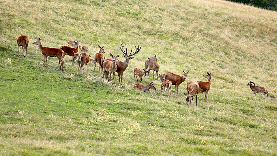
At Oklahoma Drone Recovery Company, we believe better information leads to better wildlife management. Our aerial herd analysis services provide landowners with reliable data, professional insights, and the confidence to make informed decisions for the future of their property.
Serving Oklahoma—one flight at a time.