Find Your Livestock Faster. Save Time. Protect Your Investment.
When livestock go missing, every minute matters. Oklahoma Drone Recovery Company uses advanced thermal drone technology to help ranchers quickly locate cattle and other livestock across large properties, reducing the time, labor, and expense of traditional ground searches. Whether you’re searching open pasture, dense timber, or rugged terrain, our aerial capabilities allow us to cover more ground in less time and provide faster, more efficient results.
Find Your Livestock Faster. Save Time. Protect Your Investment.
When livestock go missing, every minute matters. Oklahoma Drone Recovery Company uses advanced thermal drone technology to help ranchers quickly locate cattle and other livestock across large properties, reducing the time, labor, and expense of traditional ground searches. Whether you’re searching open pasture, dense timber, or rugged terrain, our aerial capabilities allow us to cover more ground in less time and provide faster, more efficient results.
Save Valuable Time
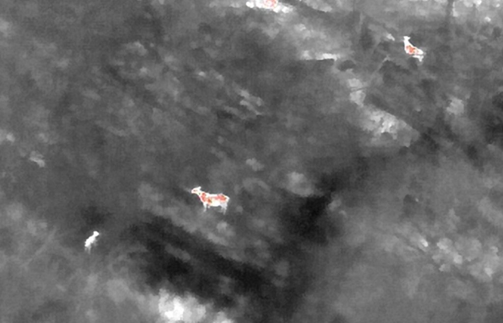
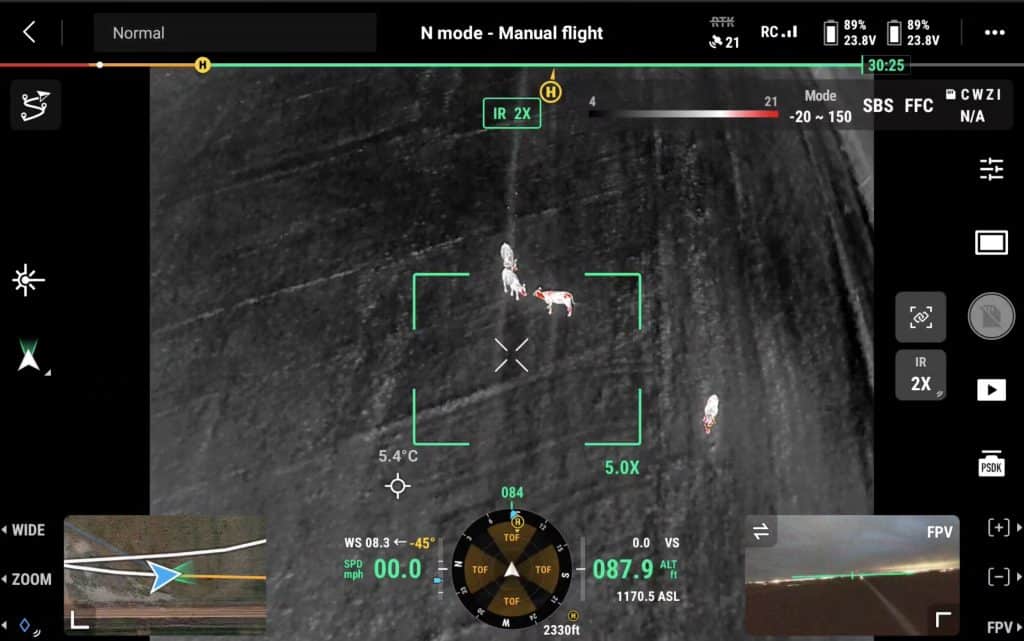
Searching for missing livestock on foot or by vehicle can consume hours of valuable time. Our thermal-equipped drones allow us to rapidly search large areas from the air, helping locate animals in a fraction of the time while reducing fuel costs and unnecessary wear on equipment.
Locate Livestock in Challenging Terrain
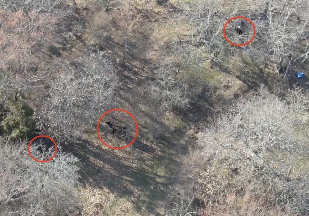
Livestock often seek cover in timber, creek bottoms, thick brush, or uneven terrain where they can be difficult to locate from the ground. Thermal imaging provides a unique aerial perspective that helps identify animals even in areas with limited visibility, making searches faster and more effective.
A Better View of Your Operation
Drone technology provides a bird’s-eye view that simply isn’t possible from the ground. Whether you’re searching for a single missing animal or surveying an entire pasture, aerial imagery allows us to cover expansive properties quickly while giving you greater confidence in your operation.
Herd Counts and Monitoring
Need an accurate head count? Our aerial surveys make it easy to count livestock, monitor herd distribution, and observe activity across your property. This service is especially valuable during calving season, after severe weather, or when managing large grazing operations.
Why Ranchers Choose ODRC
- Advanced thermal drone technology
- Fast response throughout Oklahoma
- Rapid aerial coverage of large properties
- Reduced search time and operating costs
- Professional, dependable service
- Statewide network of experienced drone pilots
Why do Ranchers Call Us?
1
Missing or escaped livestock
2
Herd head counts
3
Calving season monitoring
4
Post-storm livestock searches
Whether you’re searching for one missing animal or monitoring an entire herd, Oklahoma Drone Recovery Company provides efficient aerial solutions that help protect your livestock, your time, and your investment.
Serving Oklahoma—one flight at a time.